 MapMoto
Flight Path Animation Maker
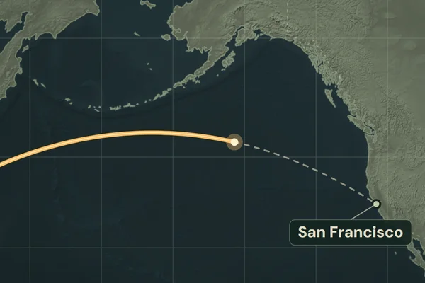
Animate a flight between two cities or airport coordinates. Try Tokyo to San Francisco across the Pacific and export a portrait MP4.
Loading map…
Explore map tools
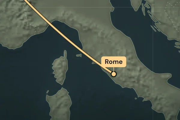
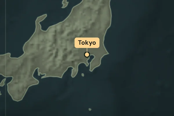
Animate a flight across the map
Play the Tokyo Haneda to San Francisco example to see the arc cross the International Date Line. Choose New flight to set your own departure and destination. Search for each city, or paste an airport's decimal coordinates and use its name as the label.
The animation draws the route from the departure point to the destination. Choose 15 or 20 seconds in Clip settings. Turn off Camera follows route to keep both endpoints in view, then export a silent 1080 × 1920 MP4 in desktop Chrome or Edge.
Does the arc show where a particular flight flew?
The curve is a great-circle estimate between your endpoints. Aircraft can take different paths because of weather, airspace, or routing. The map covers routes within 82° north or south. For a track recorded by a GPS device, use GPX to video.